
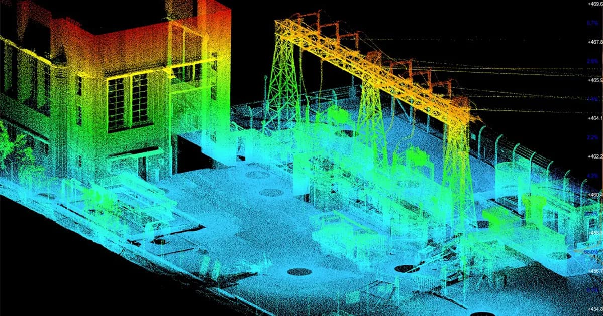
Reality Capture for Existing Facilities
Point Cloud Survey & BIM Modeling
IBS Projects turns laser-scanned survey information into accurate digital models for existing buildings and infrastructure, supporting refurbishment, coordination, documentation and facility operations.
Our Capabilities
From Raw Survey Data to Project-Ready BIM.
Capture existing conditions once, then use the coordinated digital information across design, renovation and handover workflows.
Point-cloud registration and cleanup
Point Cloud to BIM from LOD 100–500
Existing-building documentation
Architectural, structural and MEP modelling
As-built BIM development
Clash detection and coordination
Digital-twin model preparation
Benefits
Reliable Existing-Condition Data for Better Decisions.
Point-cloud workflows help teams work from a clearer record of what is already built, reducing uncertainty before design and coordination work advances.
Project Experience
Bandaranaike International Airport (BIA), Sri Lanka
Terminal Project
Managed scan data for the existing terminal environment.
Converted laser-scan information into coordinated BIM and CAD models.
Supported renovation planning, engineering review and multidisciplinary coordination.
Prepared dependable as-built information for project stakeholders.
Survey to Model
See the Reality-Capture Workflow.
Three stages show the progression from field capture to scan information and the final coordinated BIM environment.
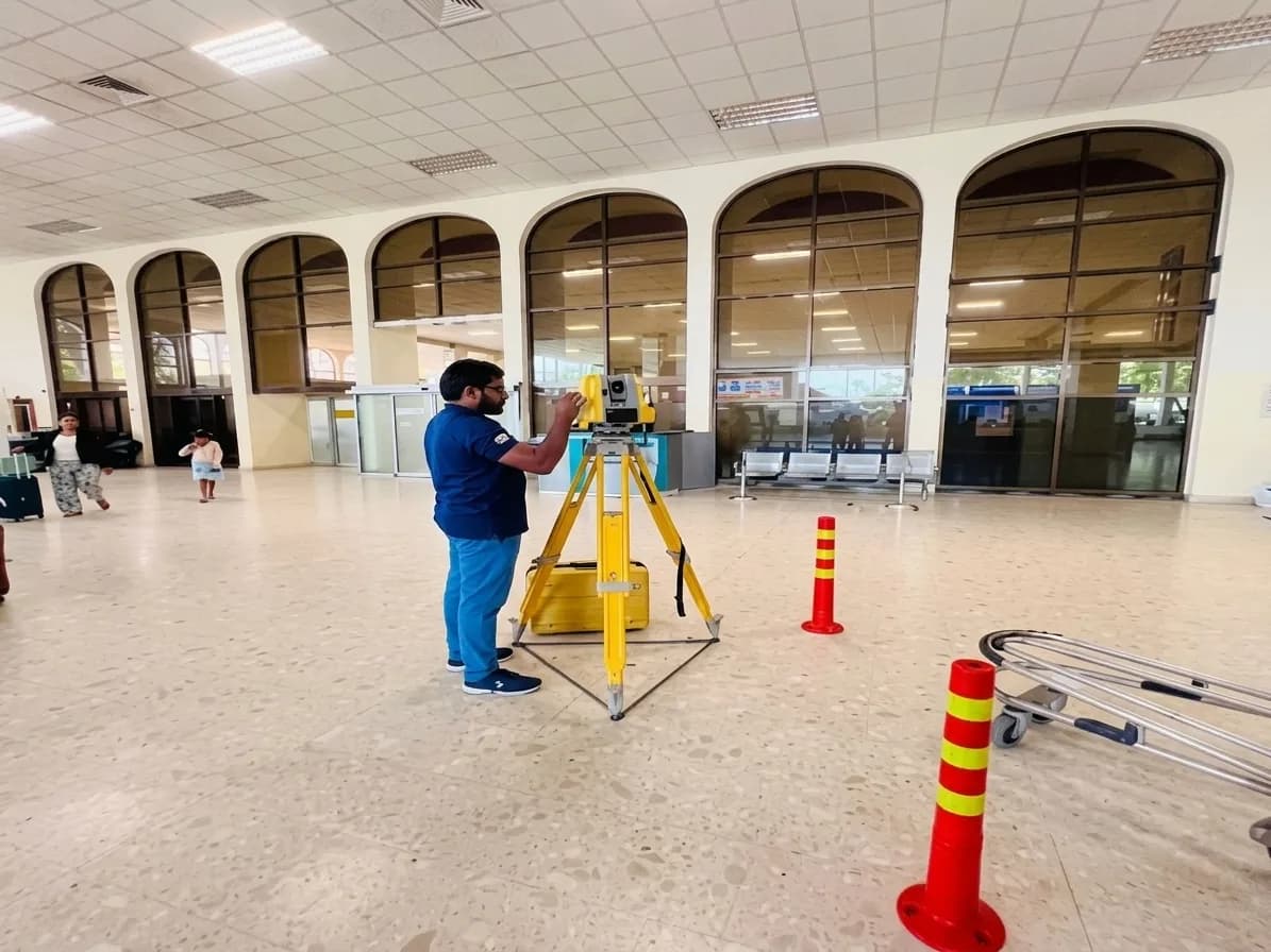
01
LiDAR Scanning Time
On-site laser scanning captures the existing facility before modelling begins.
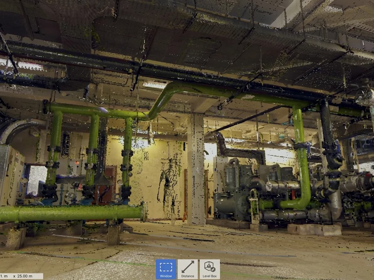
02
Scanning File
Registered scan information provides the spatial reference used to reconstruct building systems.
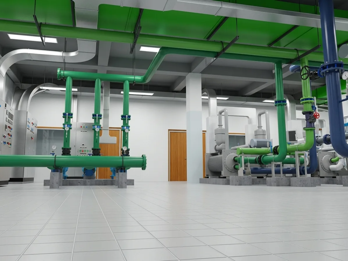
03
NWC File After Modeling
The processed survey is developed into a clear, coordinated digital building model for project use.
Start With Your Survey Data
Need an Existing Facility Converted into a Coordinated BIM Model?
Share the available scan files, required disciplines, target LOD and expected deliverables with the IBS Projects team.